Real time kinematic RTK
Contents |
[edit] Introduction
Real time kinematic (RTK) is a surveying technology used by drones to make real time corrections to images captured by global positioning systems (GPS) and other Global Navigation Satellite Systems (GNSS). The other type of correction technology is known as post processed kinematic or PPK, which corrects location data after it has been collected and uploaded.
[edit] Correction technology background
Both RTK and PPK GPS correction technologies are effective at capturing pinpoint location information. They are believed to be improvements over the use of ground control points (GCPs), which is the traditional method of capturing this information. A GCP is a location or object with known coordinates that is used as a reference point for surveying purposes.
Both forms of GPS correction technology are incorporated directly into drone equipment.
[edit] Capabilities of RTK
RTK technology is suitable for flat areas where obstructions are minimal. This is important, since trees, mountains or other projects can disrupt communications. Since RTK relays information in real time, it requires reliable connectivity in order to send the information steadily. An interrupted connection can disrupt the data capture and transmission process and create gaps.
It is possible for an RTK user to obtain 2 cm level positioning in plan, and even better if they are careful. With RTK, the distance from the reference station can have an impact on the final positional accuracy that can be achieved.
[edit] Networked RTK
A technique known as networked RTK has developed which links together data from a number of dual frequency GPS receivers in real time – providing RTK correction solution or a regional differential code GPS (dGPS). Examples of networked RTK systems are the commercial services built on the Ordnance Survey OS Net™ national GPS infrastructure.
Non-networked RTK relies on a single base-station receiver and a number of mobile units. However, with networked RTK there is no need to set up a local base station and the accuracy is not dependent on the base-to-rover receiver distance. This can sometimes result in cost savings measures.
[edit] Related articles on Designing Buildings
- Construction drones.
- Geographic information system GIS.
- Geospatial.
- Global positioning systems and global navigation satellite systems.
- Ground control point GCP.
- Interview with Elly Ball, co-founder Get Kids into Survey.
- Land surveying.
- Post processed kinematic PPK.
- Surveying instruments.
- Uses of drones in construction.
- Using satellite imagery to monitor movements in megaprojects.
Featured articles and news
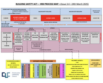
CLC and BSR process map for HRB approvals
One of the initial outputs of their weekly BSR meetings.
Building Safety Levy technical consultation response
Details of the planned levy now due in 2026.
Great British Energy install solar on school and NHS sites
200 schools and 200 NHS sites to get solar systems, as first project of the newly formed government initiative.
600 million for 60,000 more skilled construction workers
Announced by Treasury ahead of the Spring Statement.
The restoration of the novelist’s birthplace in Eastwood.
Life Critical Fire Safety External Wall System LCFS EWS
Breaking down what is meant by this now often used term.
PAC report on the Remediation of Dangerous Cladding
Recommendations on workforce, transparency, support, insurance, funding, fraud and mismanagement.
New towns, expanded settlements and housing delivery
Modular inquiry asks if new towns and expanded settlements are an effective means of delivering housing.
Building Engineering Business Survey Q1 2025
Survey shows growth remains flat as skill shortages and volatile pricing persist.
Construction contract awards remain buoyant
Infrastructure up but residential struggles.
Home builders call for suspension of Building Safety Levy
HBF with over 100 home builders write to the Chancellor.
CIOB Apprentice of the Year 2024/2025
CIOB names James Monk a quantity surveyor from Cambridge as the winner.
Warm Homes Plan and existing energy bill support policies
Breaking down what existing policies are and what they do.
Treasury responds to sector submission on Warm Homes
Trade associations call on Government to make good on manifesto pledge for the upgrading of 5 million homes.
A tour through Robotic Installation Systems for Elevators, Innovation Labs, MetaCore and PORT tech.
A dynamic brand built for impact stitched into BSRIA’s building fabric.
BS 9991:2024 and the recently published CLC advisory note
Fire safety in the design, management and use of residential buildings. Code of practice.


